We chose this park because even though we had technically reached our destination, we really felt the need to run my poor Ford Fusion into the ground by continuing to put on an obscene number of daily miles.
I kid, I kid.
OR DO I?
This park wasn’t initially on our radar at all, but as soon as we bought that national parks pass, we came down with something of a national parks fever. By our first weekend in Arizona, we still didn’t have a hiking itinerary set in stone (or sand, or anything at all), so when we saw that there was a national park a mere 2hr drive from our Airbnb, it felt like as good an option as any. We knew that we wouldn’t be able to get out that far on a weeknight, and we expected our weekends to fill up quite quickly with our highest priority hikes or hikes that we would need more time for, so this first free Saturday was a gift.
The couple weeks of early wake ups was starting to catch up with us, so we did ourselves the small kindness of not cramming our Saturday schedule all the way to the brim. We would wake up whenever we woke up, hit the road after breakfast, explore the national park, and then hit a state park or two on the way home if we still needed more hiking. Spoiler alert: we were terrible at estimating how long we would spend at the park and didn’t make it to any others.
Petrified Forest National Park is set up kind of like Arches National Park where there is one main road that cuts through the park and you drive from interest point to interest point where there may be an option for a longer hike. The key differences, though, are that a.) Arches was an out and back road that dead-ended at the furthest point in the park, whereas Petrified Forest had entrances/exits on both ends of the park so you could drive through either way without backtracking, b.) we think there were “free roam” areas of Petrified Forest where you could just walk off into the desert and explore and even camp, which is really unusual for a national park, and, most critically, c.) Petrified Forest allowed dogs on every trail and at every stop.
Because it is where our GPS routed us, we entered the park from the north off of I-40 and drove the route from the Painted Desert to the Rainbow Forest, and that is our STRONG recommendation for others as well. Like we mentioned above, you also have the option of doing the park in the reverse of our route by entering off of Highway 180, but that would definitely be eating dessert first. One of the things we’ve learned as we’ve gotten into hiking is you never want the payoff/big reveal/moment where the clouds part and the angels start singing at the beginning of your route. You’ve got to work for it, and if it comes too soon, the rest of your day is going to feel pointless. That means that at Petrified Forest, you don’t start with all the petrified logs; you enter at the Painted Desert and as you work your way through the park you’ll see a few petrified bits and bobs, but they will just be tantalizing little teasers until you get to the main event.
The Painted Desert
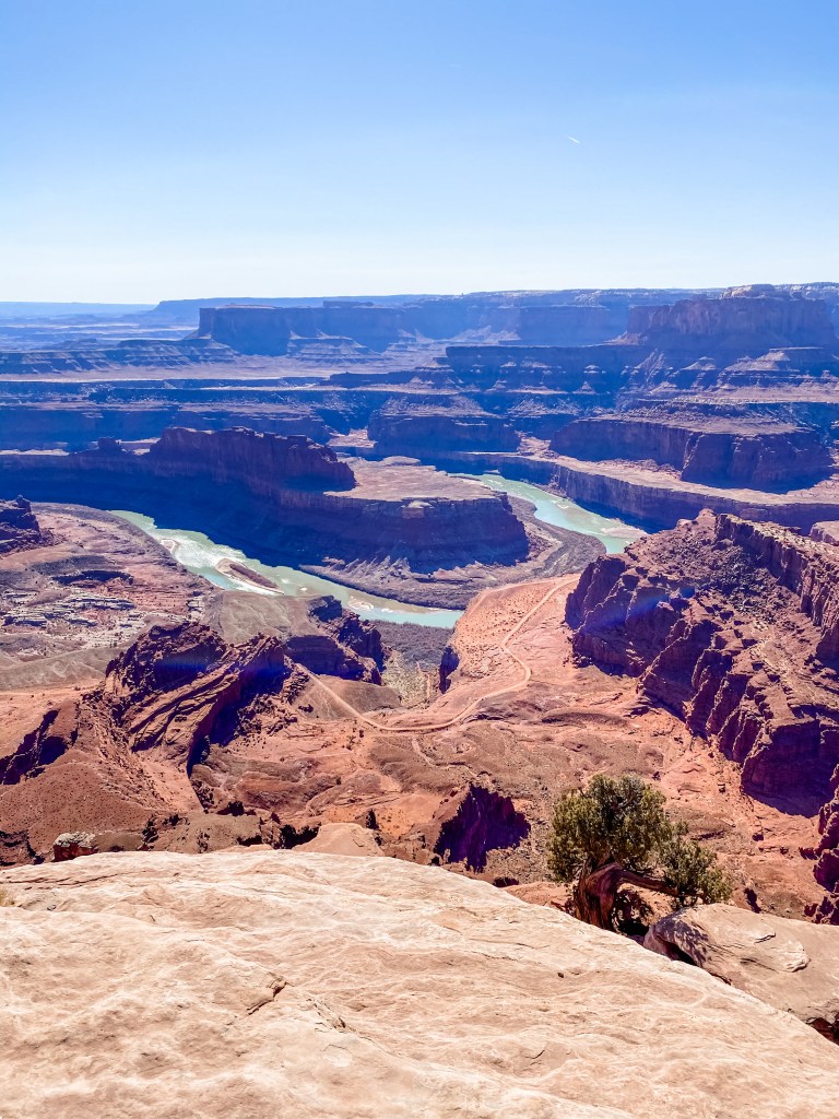
First up on our self-guided tour of the park was the Painted Desert. We only viewed it at a distance from rim trails, but even from far away, it was striking. In Arizona you pretty much get two flavors of rocks: you have your standard tan, grey, and brown sand and rocks for most of the state, and in Sedona and the surrounding area, you have the signature red rocks. But in the Painted Desert, there are loads of colors on display. This area got its name in 1540 when Spanish conquistadors and explorers noted that the canyon walls looked as if they had been colored with strokes of a giant paintbrush. In actuality though, it was not a larger than life artist, but our good ol’ pal Geology who was responsible for the canvas of banded colors we saw before us. And believe it or not, he had been working for more than 200 MILLION YEARS on this particular masterpiece. Most of the Painted Desert that is visible from within the national park is part of something called the Chinle Formation, which is made up of layers and layers of river deposits made over the course of about 20 million years in the Late Triassic Period. After those layers – each a slightly different shade of red, orange, blue, or lavender – were all packed down, the conditions were ripe for erosion. Most of these stone and mineral deposits were semi-porous and prone to erosion, which is why today, a mere 225 million years from that fateful first layer of rock, we see such beautiful canyons, buttes, mesas, and mounded badlands, and the tapestry of colored sand and stone is on full display.
Although I’m sure that this explanation was more rock talk than you, Reader, have had all week, I’m certainly not the expert here. I do have a couple things still rattling around in my brain from my 9th grade Earth science class, which I adored (shout out to Ms. Catchpool), but if you want to learn more, or learn it correctly, and you are not currently registering for 9th grade science courses, you can peruse the NPS site which does a great job filling in the gaps!
Puerco Pueblo and Newspaper Rock
Puerco Pueblo trail was an interesting stop as it allowed us to walk out amidst the remains of a large pueblo. A pueblo was a multi-room and sometimes multi-story stone dwelling that functioned as both a home and village center for the Ancestral Pueblo people. This one was estimated to have 100 rooms and the stone structures that we were walking among were more than 600 years old. It was interesting to try and imagine what life was like for the Ancestral Pueblos – and by all accounts it seemed like a thriving community – on terrain that to us seemed so harsh and mean. Honestly, we weren’t dazzled by the structural remains at this stop, but we were pretty floored by the petroglyphs.
On many of the rocks at Petrified Forest National Park, you can see something called “desert varnish” which is simply a thin, dark coating made up of minerals, organic material, and clay that builds up naturally over time. If you weren’t looking for it specifically, you would almost certainly miss it, because in most places a dirty rock isn’t that special. But here, and at hundreds of sites in this park alone, a dirty rock is a canvas. Using another rock, wood, bone, a beak, or something else, the Ancestral Pueblo people would scratch away the desert varnish and expose the lighter stone underneath, creating a symbol, drawing, or likeness.
In a location that was occupied by hundreds of people at a time for possibly hundreds of years, it made sense that there would be more evidence of life than just buildings. Here we had art, and like all art, it is totally up for interpretation, and no one (not even experts!) can seem to agree on what exactly these artists were trying to communicate. It was awesome. And we could see it with our own eyes, right in front of us, and could weigh in (with exactly zero authority) on what we thought the symbols could mean. In the petroglyph below, for example, you can clearly see a bird and something else at the end of its beak. Modern day members of the Zuni tribe think that this could be a representation of the artist – almost like a signature or a tag – and their ties to various clans (i.e. mom from Crane Clan, dad from Frog Clan). The Hopi people, however, would say that this is a visual representation of a story wherein a giant bird visited villages to eat bad children. The bird seems to resemble the white-faced ibis, which is native to the region and is known to eat frogs, so another interpretation is that this petroglyph is a way to show reverence to or appreciation for water and aquatic resources. The world may never know!

Bird and frog is my guess (I love frogs) 
Some experts think that the geometric “staircase” pattern is some sort of migration notation
After we whet our appetites for petroglyphs at Puerco Pueblo, we headed less than a mile down the road to Newspaper Rock where an overlook with binoculars allows you to zoom in and see hundreds of different petroglyphs concentrated across a few rocks in formation. NPS denotes a spot like this with such a high concentration of petroglyphs (more than 650!) as hugely significant. This wasn’t the work of a single person, a single generation, or even a single village, but rather the stories of the multitude of Ancestral Puebloans who passed by, hunted, farmed, or lived near the Puerco River between 650 and 2,000 years ago (NPS says it best). It was really something, and I think I could have stayed at those binoculars looking for petroglyphs all day.
Blue Mesa
Our next stop was Blue Mesa, which was the coolest stop so far from a landscape perspective. There was a short 1mi trail that dropped you into a basin of blue clay badlands from the flattop mesa up above. I would guess that this experience was the closest I will ever get to exploring a crater on the moon. You could get up close and personal with the hilly, mounded formations, and if you didn’t know any better, it would be easy to mistake the grays and blues of the exposed mudstone with wrinkly, dusty elephant skin. This was also the first spot where we got to see petrified wood at close range, which piqued our interest for the next few stops!


Grumpy moon dog 
Crystal Forest and Rainbow Forest
Doo doo doo dooooo!! The Main Event! These are a few of the “forests” that gave the park its name. I put “forests” in quotation marks though since I think this was right around the point in our day where M admitted that he was still looking for a dense swath of Redwood-esque stone trees, and I don’t want you, Reader, to make the same mistake. These are considered petrified forests simply because they are large collections – some of the largest in the world – of petrified trees, but none of those trees are actually standing in the traditional forest arrangement.
So what is a petrified tree? How does something become petrified? What is the science of it all? These are a few of the burning questions that M and I were sitting with throughout our entire trip. Each stop that failed to explain (or in many cases even address) the nominal attraction of the park made us more and more agitated until we got into the car after Blue Mesa and I exploded “I don’t get it!! What the F#&@ is a petrified tree?!” absolutely scandalizing Dog. M was able to talk me down from it, but I vowed to *gasp* look it up on The Internet if we didn’t start learning about petrified forests real quick. As part of our own Parks Code of Conduct, we really try to limit the amount of time we spend on our phones in the parks. We bring out phones for pictures, trail tracking, and emergencies, and try to keep them in our pockets for everything else. Particularly at parks managed by NPS, there tends to be really good information at every stop (our beloved plaques!) and plenty of material to read between stops too (our beloved park newspapers!), not to mention the maps, so it’s usually all we can do to absorb all of this new knowledge during our visit. But on this trip, I read every plaque and the whole newspaper, and still was no closer to understanding the inner workings of a petrified forest than I was when I entered the park. And then we got to the Forests.
Now, Reader, I’m not going to do you the disservice of trying to paraphrase NPS on this one. Instead, I present to you a photo – taken through literal tears of joy – of a plaque titled “Petrifiquestions Answered.” When I tell you that God Himself could not have designed a more perfect plaque for me in my moment of need, from the pun to the meltdown-averting content, you better believe it. A couple of things to note for context before you read the plaque: way, way back in the day, like all the way back at the beginning of the Mesozoic Era, our beautiful Planet Earth was experimenting with supercontinents (again!) and had created the landmass Pangea. And Pangea looked very different from present-day Arizona. Looking out at the vast expanse of sand and dirt and rock that make up the park, any person could have reasonably assumed that this ground had never seen water before. This desert was a Thanksgiving turkey that no amount of gravy could redeem. You know the kind – you’re 8yo, at Grandma’s house, the turkey had been in the oven since the beginning of time. So just IMAGINE OUR SURPRISE when we learned that our turkey dinner desert was once a dense, lush, tropical rain forest! On Pangea, this area was positioned over the equator and probably looked a lot like the Amazon Rainforest does today (or how it looked before we really started trying to kill it – humanity is a scourge). So as you have all of your petrifiquestions answered below, imagine Arizona as the Amazon.
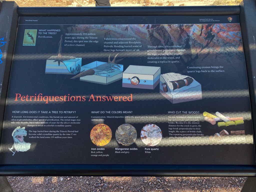
In summary, petrified trees are ancient organic matter that has been turned to literal stone through the magic of Earth science. Out of the national parks that we visited on this trip, these petrified trees held the distinction of being simultaneously the least impressive things to look at and the most impressive things to think about. That fact in the lower left hand corner of the plaque still blows my mind every time I think about it, which is all the time. These petrified forests, which took millions of years to form, were already in their current states and positions when Tyrannosauruses roamed. A T-Rex who was alive 83 million years ago was looking at these same stone logs, probably tripping out about geology and chemistry just like us. It’s for sure the funnest fun fact of our trip, possibly of our whole lives.
You can see from the photos below why these stops were called Crystal Forest and Rainbow Forest. There were short walks around and through some of the sites with the heaviest presence of petrified logs, and it was so cool to see these things up close. The quartz crystals were dazzling in the early afternoon sunlight, though without motion, these photos don’t do it justice. And the petrified logs that took on the rainbow title looked like massive, showy agates. Both types of logs seemed almost fake in that they were trying to be two different things at once. My brain had a lot of trouble processing what my eyes were taking in. They were truly stone – a ranger at one of the stops encouraged us to knock on some of the logs to confirm – but they were so obviously trees as well. We. Loved. It.
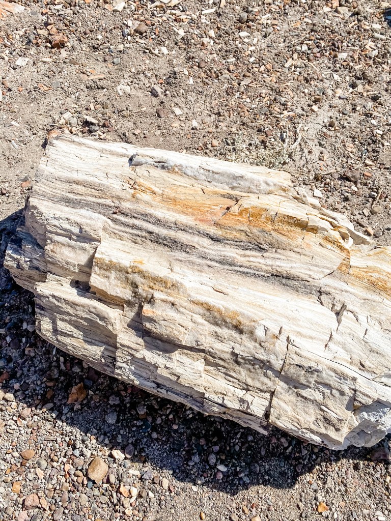
This log has two lines of silver crystals running through its center 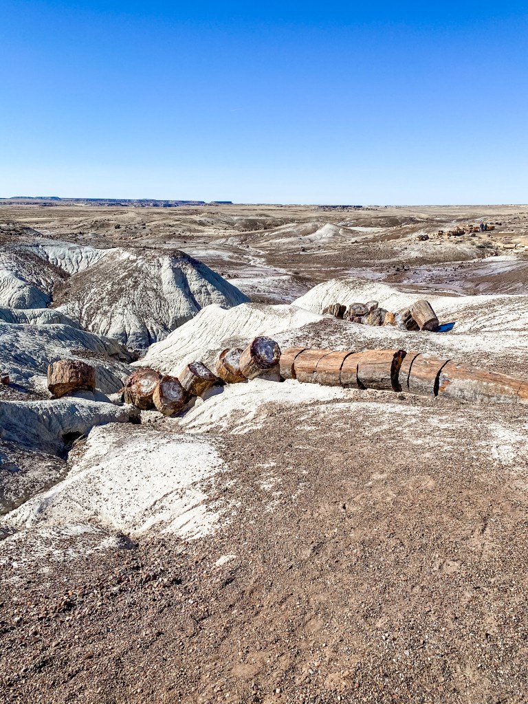
The type of arrangement the “Who Cut the Wood” section is referring to 
Rainbow logs 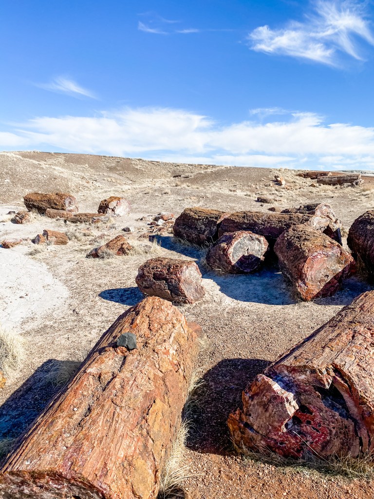
Studs
- We didn’t know it at the time, but this would be the first of many encounters we would have with the history and legacy of the Ancestral Pueblo people on our trip. It was really cool to learn about a group of people that we had almost no relation to in our daily lives, and to watch that knowledge evolve with every stop!
- Very seldom as an adult are you encouraged to imagine with childlike abandon, so it’s important to call out opportunities to do so. Both the petroglyphs and the Pangea reach-back required a bit of imaginative interpretation, and it felt good to stretch that muscle again! Mark my words: imagination and quality, ample sleep will be the combination that allows M and me to live forever
- 10/10 for the Medusa vibes at this stop. I used to think that turning things to stone was pure fantasy, but here it is, playing out before my very eyes. What did the Greeks know about harnessing the powers of petrification that they aren’t telling us??
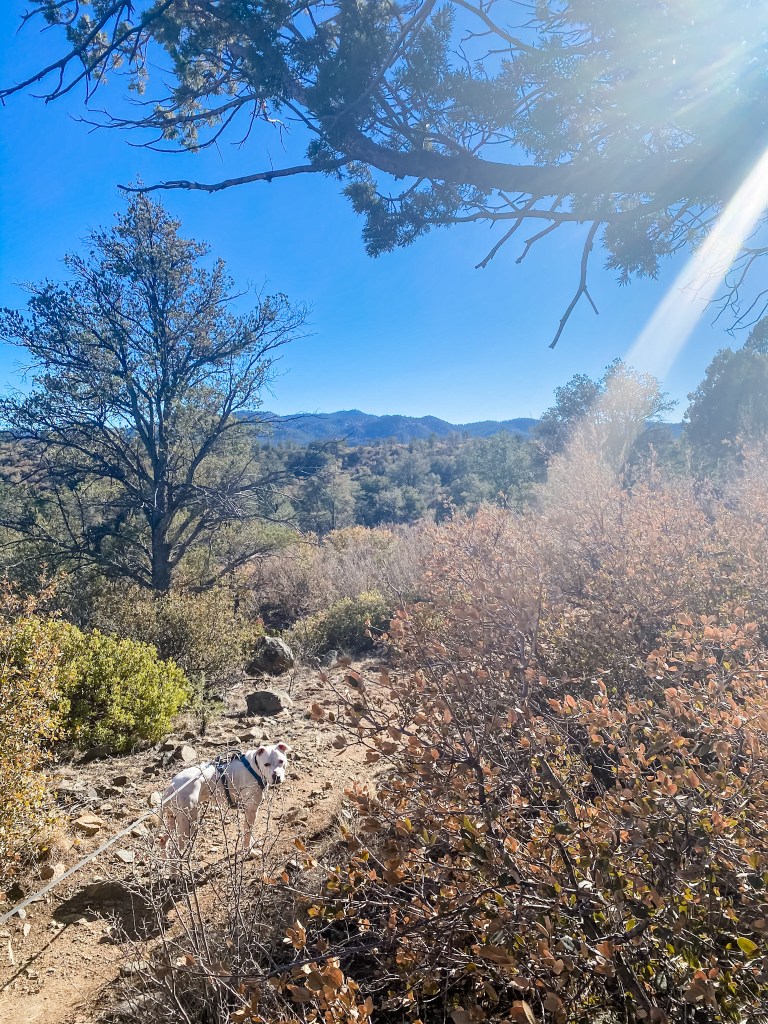
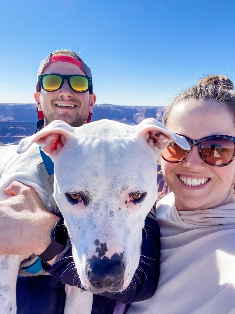
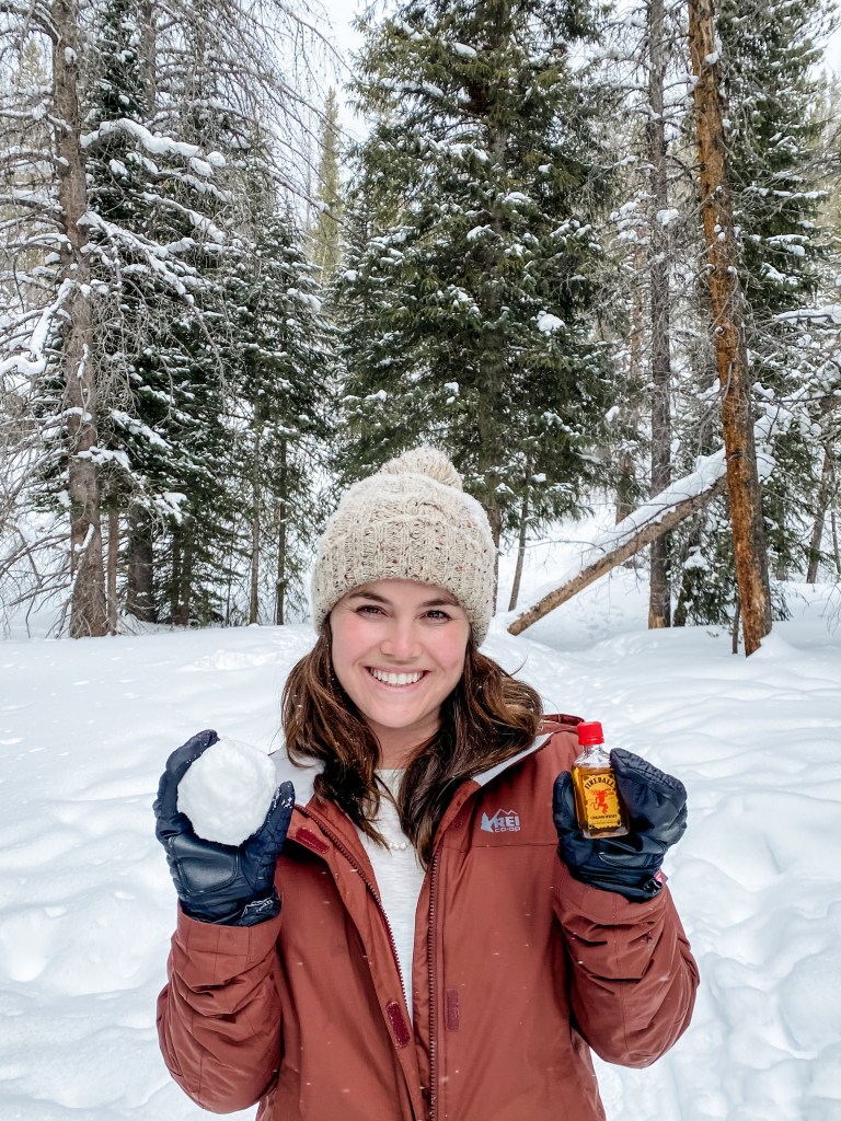
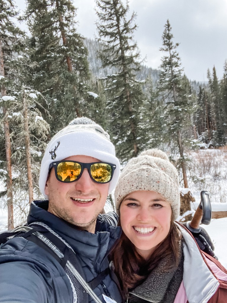
- It’s always a win when we get to bring Dog to a national park!
Duds
- Logically, I know that NPS is not trying to keep secrets from me, but it really felt like it at this park. A little teaser in the newspaper about petrification would have kept me happy. Or even just pointing out on the map where I would learn about it would have done the trick. But you can’t get me all excited about petrified forests by oh, I don’t know, NAMING YOUR PARK AFTER THEM, and then not give me any information about them at 80% of the stops. I’m happy we didn’t, but by the time we got to anywhere that actually had the details, I was frustrated enough to just skip the last few stops and call it a day.
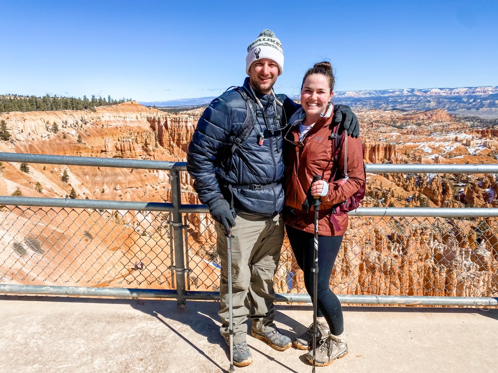
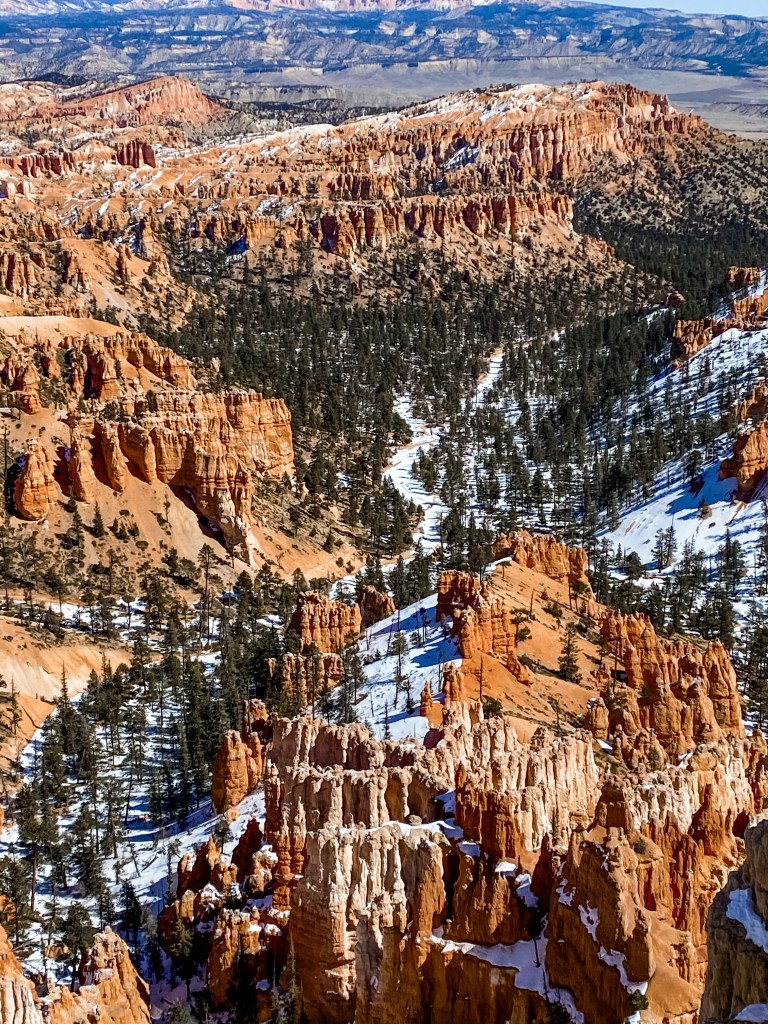
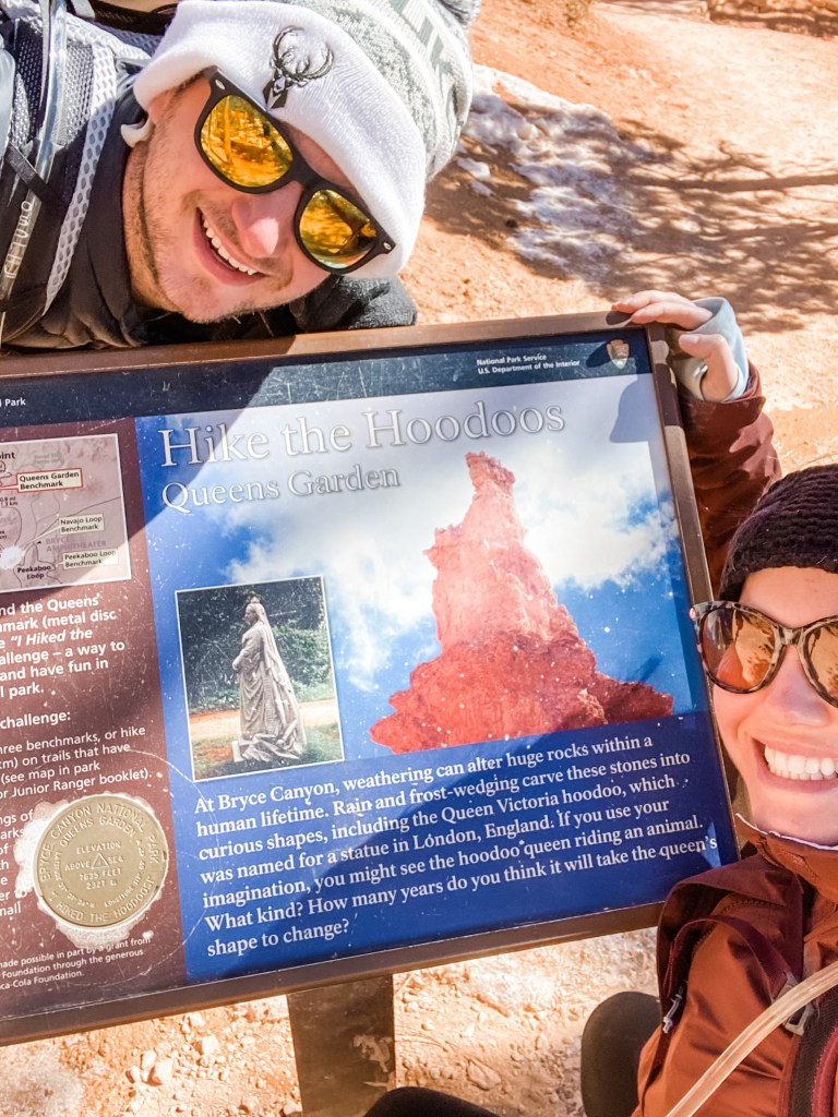
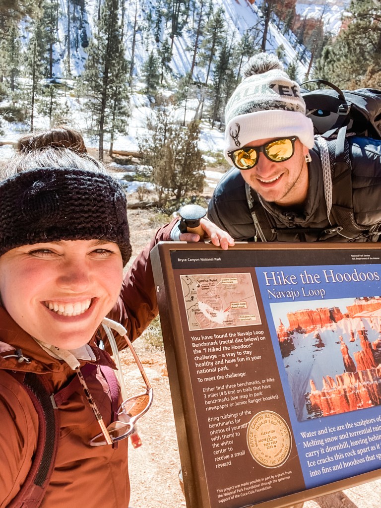
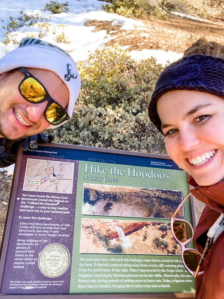
- We didn’t learn our lesson from Bryce Canyon, and still opted to drive 4hrs round trip for a single park. Not the most efficient use of time, folks!
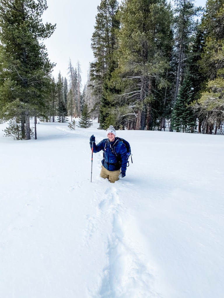
- There wasn’t much in the way of hiking at this park, or at least at the stops that we hit. There were trails at most of the stops, but they topped out around a mile, and were the easiest possible terrain. We knew this going in, and thought we’d be able to squeeze another park in on the way home to actually log some miles, but we were beat from all the learning. We needed a slower day for this one, but we almost didn’t meet our step targets for the day!